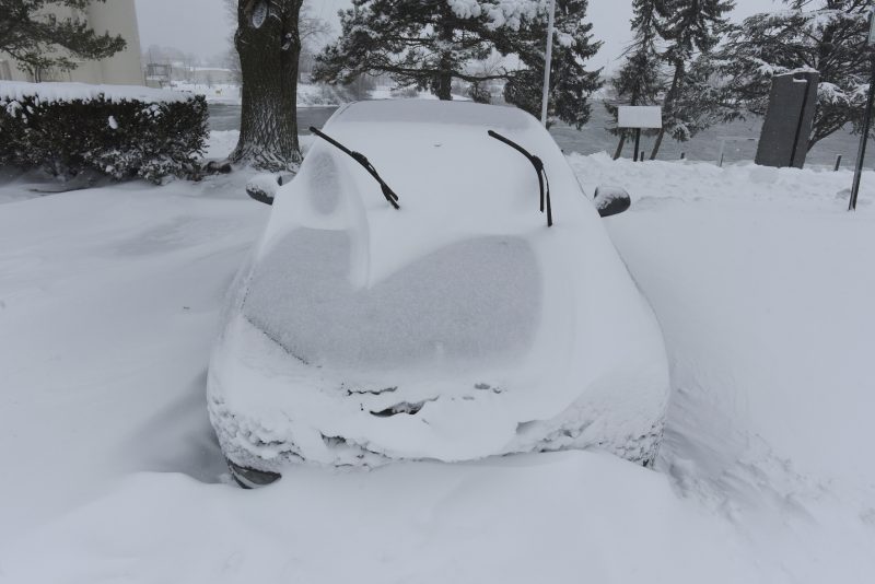
As Michigan braces for a dramatic return to winter, a significant storm is set to blanket the Upper Peninsula and northern Lower Peninsula with heavy snow, strong winds, and the threat of ice. Forecasts predict that some areas could see up to 13 inches of snow from late Tuesday through Wednesday, creating hazardous travel conditions and potential power outages.
The upcoming winter storm presents a stark contrast to the warmer weather expected in southern Michigan, where rain and thunderstorms will push temperatures near 60 degrees. In stark juxtaposition, the northern parts of the state are preparing for a harsh weather event that could include winds gusting up to 50 mph, heavy wet snow, and ice accumulation. This convergence of severe weather factors has prompted the National Weather Service (NWS) to issue Winter Storm Warnings and Winter Weather Advisories for affected areas.
Forecast Details: Heavy Snow and Strong Winds
The storm is anticipated to arrive late Tuesday and persist into Wednesday, with the NWS offices in Marquette and Gaylord detailing the expected conditions. The highest snowfall amounts are likely to occur along the Lake Superior shoreline, particularly in the Keweenaw Peninsula, where totals could reach up to 13 inches. Other locations, such as Marquette, may see accumulations of up to 9 inches, while Grand Marais could receive between 3 to 6 inches.
In the northern Lower Peninsula, snow accumulations are forecasted to be slightly lower. Areas like St. Ignace, Rogers City, and Alpena can expect between 6 to 8 inches. The storm's wind direction is predicted to be east-northeast, with gusts ranging from 35 mph to 50 mph, exacerbating the already challenging travel conditions.
Ice Threats: Power Outages Possible
In addition to heavy snowfall, ice and freezing rain are significant concerns with this storm system. Forecast models indicate ice accumulation could range from a tenth of an inch to a quarter of an inch, particularly affecting regions from Petoskey and Gaylord down to Grayling and Houghton Lake. The combination of ice buildup and strong winds poses a risk of downed trees and power lines, which could lead to widespread power outages.
As meteorologists have noted, the heaviest impacts from snow and icing are expected on Wednesday morning. The potential for hazardous travel conditions is substantial, particularly for commuters and travelers. Local officials are urging residents to prepare for possible disruptions, including delayed flights and treacherous roadways.
Travel Advisory and Preparedness Measures
Given the forecasted severity of the storm, the NWS is advising residents in affected areas to stay informed and take necessary precautions. This includes monitoring local weather updates closely as the situation develops. Travelers are urged to reconsider any plans that involve travel during the storm, particularly on Wednesday when conditions are expected to be at their worst.
In addition, motorists are reminded to equip their vehicles with emergency supplies and to drive cautiously if travel is unavoidable. Local emergency services are preparing for increased calls related to accidents and power outages, urging residents to report any hazards they encounter promptly.
As the storm approaches, many Michiganders are reflecting on the unpredictable nature of winter weather in the state. With spring-like conditions to the south and a fierce winter storm to the north, the state exemplifies the volatility of seasonal transitions. Residents are encouraged to stay vigilant and be prepared for all possibilities.
This winter storm serves as a reminder of the challenges that Michigan's diverse weather can present. As the state gears up for this significant weather event, authorities and residents alike are urged to prioritize safety and preparedness. With the potential for heavy snow, strong winds, and ice, it's crucial to remain alert and plan accordingly.